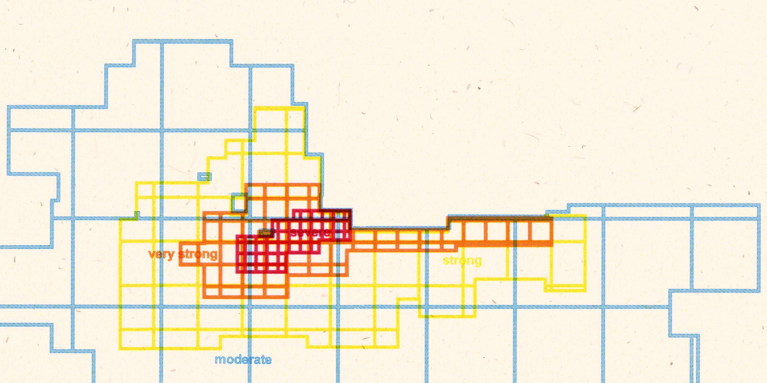
Did data predict the magnitude of Venezuela's recent earthquake?
On June 18th, geoscientist Machel Higgins took to the stage at the European Space Agency’s satellite radar mapping conference in Krakow, Poland, to present the results of his research into tectonic faults in the Caribbean.
Higgins, a postdoctoral associate at Florida International University, and his colleagues used data acquired by the Synthetic Aperture Radar (SAR) instrument aboard the European Sentinel-1 satellite to take a close look at a set of faults along the boundary between the Caribbean and South American tectonic plates.
Those two enormous slabs of rock push against each other at the bottom of the Caribbean Sea, triggering devastating earthquakes in the South American state of Venezuela every once in a while.
The satellite data analyzed by Higgins’ team revealed the region was ripe for a devastating earthquake due to the accumulated tension between the two plates. Two particular fault lines — San Sebastian and Bocono, running through northern Venezuela and along its northern coast — appeared completely rigid, not allowing the two tectonic plates to slide past each other, allowing pressure in the rock to build up.
By analyzing eight years' worth of Sentinel-1 measurements, Higgins concluded the amount of tension trapped along the locked fault lines could give rise to a magnitude 7.1 earthquake in the not-so-distant future. Less than a week later, two vicious temblors shook northern Venezuela 39 seconds apart.
Higgins, though, refuses the notion that he and his team had predicted the disaster.
“Nobody predicts earthquakes,” Higgins tells Supercluster. “It’s impossible. But we know that a fault should accommodate a certain amount of motion and we can tell via [satellite] measurements that the fault is not moving. And based on the last earthquake and its magnitude, we can calculate how much the fault can slip and say that there will be a certain magnitude earthquake at some point.”
Tiny Movements That Reveal Huge Disasters in the Making
Sentinel-1 is one of many SAR satellites in orbit but one of a few run by government-funded agencies that provide data to scientists for free. The SAR instruments aboard these satellites emit short pulses of microwave radiation, which bounce off Earth’s surface and return to the sensors on board of the satellites. By measuring the scattering of these pulses, scientists can reconstruct the structure and roughness of the terrain and objects on the ground.
Using a technique known as interferometric SAR, or in InSAR, they can detect millimeter-scale changes in terrain elevation by comparing multiple images taken at different times. Higgins and his colleagues used InSAR to understand the movements of the Caribbean and South American tectonic plates along the known faults in the region.
By looking at the eight-year-long time series of measurements, the researchers calculated how fast the tectonic plates are moving with respect to each other. In the Caribbean, the two plates grind horizontally past each other by about 2 centimeters per year, enough to be visible not just on Earth’s surface, but from space, too.
But not all sections of the boundary between the two plates move in the same way.
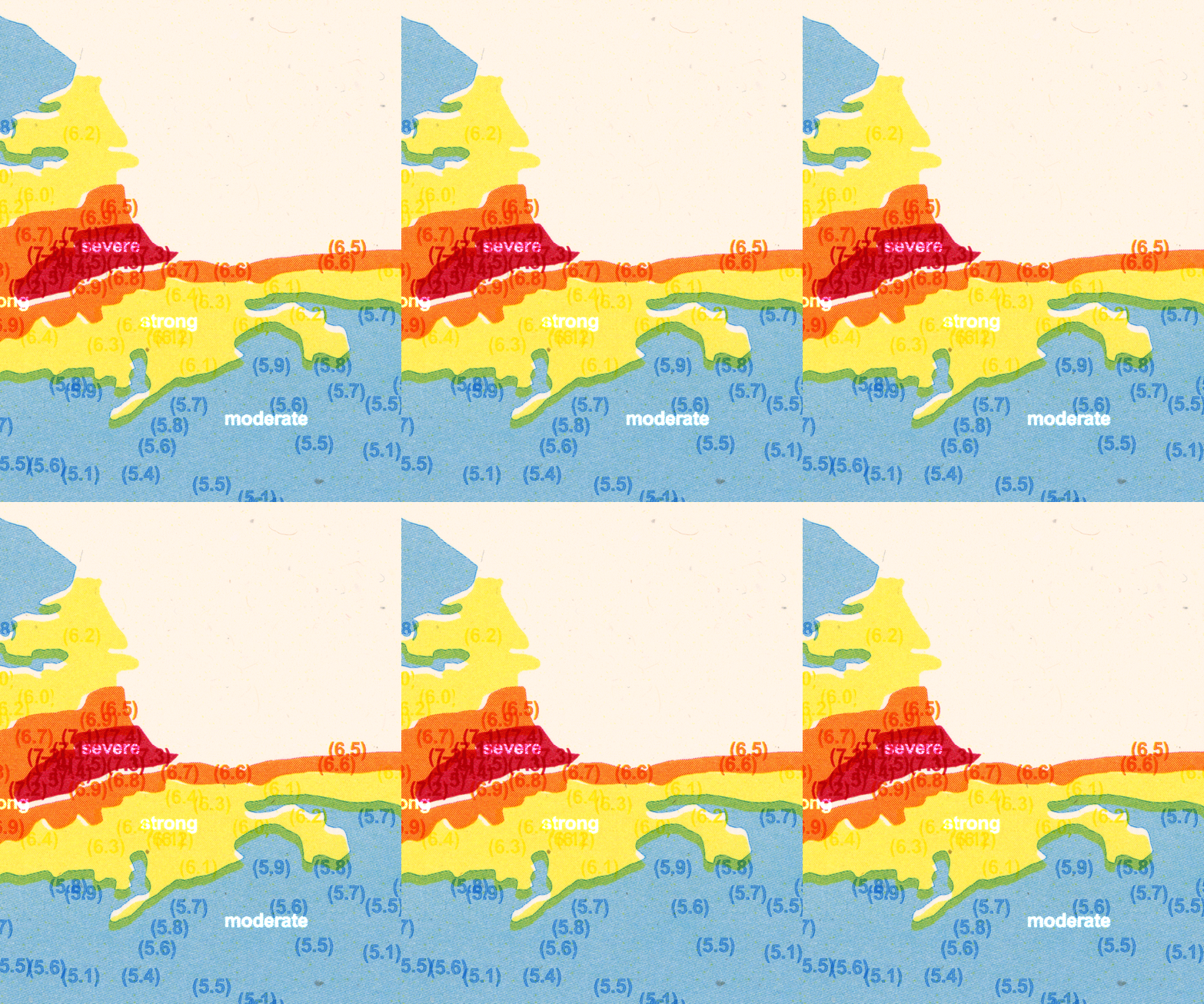
Some get locked, stuck to each other at the interface, while the surrounding lithospheric mass keeps slowly sliding. These are the areas that trigger the most powerful earthquakes, and the InSAR data reveal their locations.
“We know that a fault should accommodate a certain amount of motion, and we can tell via measurements where the fault is not moving,” says Higgins.“ In other words, it's frictionally locked the two tectonic blocks together.”
Although the two sides of the fault stick together, the two tectonic plates surrounding the line keep moving in opposite directions, bending the rock until it can sustain the tension no more. Then, in one short moment, the energy gets released, the ground moves by tens of centimeters at once or more, sending powerful shockwaves through the surrounding rock.
The earthquake that struck Venezuela on June 24th, according to researchers, began with a slip of the Bocono line, which triggered the first of the two earthquakes. Reaching a magnitude of 7.2 on the nine-point Richter Scale, the earthquake propagated eastward through the ground. As the tremors reached the San Sebastian fault, that crack slipped, too, releasing its accumulated tension in a 7.5 magnitude quake. Overall, the tremors lasted for about 90 seconds, but in that short period of time some 70,000 buildings were severely damaged or collapsed, burying tens of thousands of people.
The earthquake has been declared the worst to have hit Venezuela since 1900.
About a month after the disaster, the death toll is not yet final, but as of July 19th, more than 5,000 fatalities have been confirmed. Some 50,000 people are still unaccounted for. Further 17,000 suffered injuries and more than 21,000 lost or had to leave their homes.
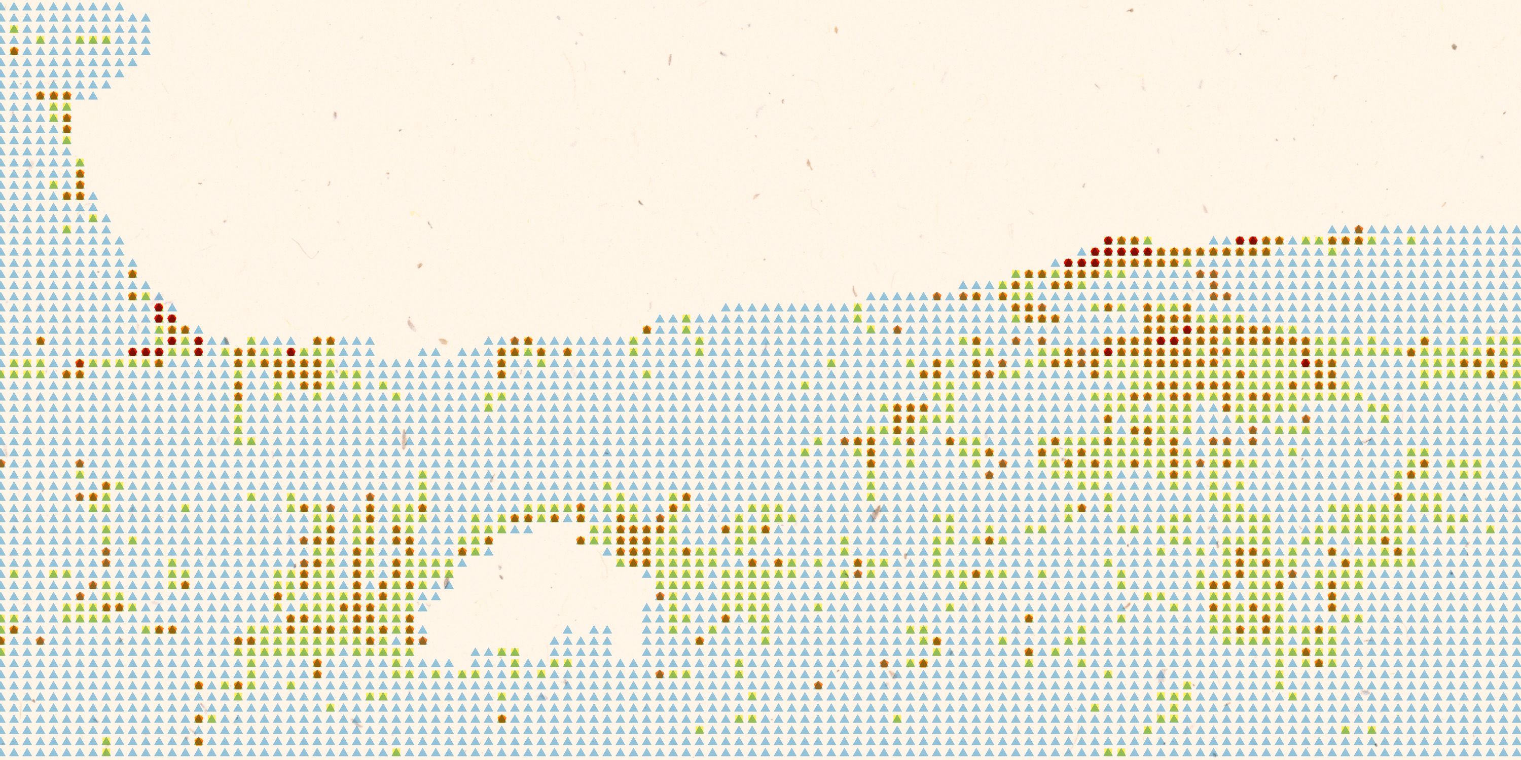
The Bird’s View of Hell
Higgins says that although predicting when an earthquake strikes is impossible, satellite data, like those from Sentinel-1, can help governments prepare for and minimize the impacts of the disaster.
“The only thing you can do for an earthquake is to mitigate its effects,” says Higgins. “Inform your society that there is an active fault nearby, have construction practices that can accommodate a certain amount of shaking, and have all of your government institutions ready in case there’s a large earthquake.”
Despite its history of severe earthquakes, Venezuela, devastated by an economic crisis since the mid-2010s and pressed by international sanctions in response to its government’s policies, was not prepared at all. The international community sprang into action to help, including space agencies from all over the world.
Nuno Miranda, the Sentinel-1 Mission Manager at the European Space Agency (ESA), says that while satellites provide indispensable data to help researchers understand the build-up to earthquakes, their true power shows in the hours and days after a disaster hits.
“When you have something like this happening, you need to understand as soon as possible where the damage is in order to prioritize where to send the civil protection and the military,” Miranda tells Supercluster.
With roads blocked by rubble, satellites circling the planet at altitudes of a few hundred kilometers provide an unobstructed view to assess the scope of the damage. They image swaths of land in one broad sweep, revealing the destruction in a resolution of up to 30 centimeters.
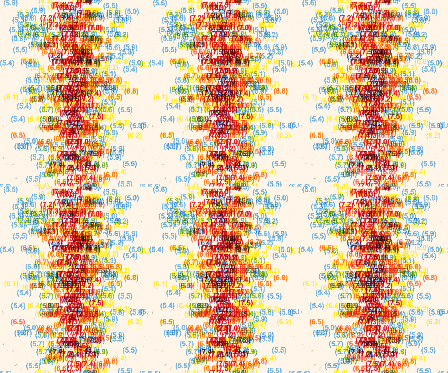
By July 1st, researchers using Sentinel-1 data arrived at the count of 69,431 damaged or destroyed buildings. Detailed photographs captured by commercial operators such as Vantor or Planet revealed the carnage in sobering detail.
“Satellites can provide you very quickly with information,” says Miranda. “You can see which buildings have collapsed, which areas are impacted, whether there are landslides somewhere or whether a dam has broken, creating a flood.”
In the first hours after a major natural disaster, Miranda explains, satellite operators all over the world task their spacecraft to acquire as many images of the affected area as possible. Through the International Charter: Space and Major Disasters — a cooperation between 17 national space agencies — hundreds of satellite data analysts spring into action to combine their powers to provide prompt, actionable information to rescue teams on the ground.
“They task multiple satellites, including optical and radar, which can see through clouds and in the dark, to provide the information as quickly as possible,” says Miranda. “We task as many satellites as possible.”
As the data streams in, the analysts process hundreds of images into practical maps that can guide the rescue and humanitarian relief efforts.
“We created about 73 value-added maps from about 1,300 satellite images,” says Miranda.
What’s Next
Higgins admits that his first thoughts upon hearing about the June 24th earthquake were that “it would be devastating.”
“A magnitude seven-plus close to what is the most populous part of Venezuela, for a country that has had a lot of economic and political issues, that would set them back really far,” he says. “I knew there would be a lot of loss of life.”
As time goes on, the attention of international media begins to turn elsewhere.
Support Supercluster
Your support makes the Astronaut Database and Launch Tracker possible, and keeps all Supercluster content free.
SupportIn Venezuela, however, the situation remains dire. With 50,000 people still missing, the death toll is set to soar over the next few months. Hopes of finding survivors in the rubble have faded, and with that, international rescue teams have begun to retreat from the region, leaving the country in what locals describe as chaos in the hands of an incompetent government.
The situation is likely going to resemble that of Turkey, struck by two 7.8 and 7.2 earthquakes in 2023, which killed a total of 50,000 people. To this day, thousands of locals live in temporary shelters.
In the meantime, scientists are beginning to understand what happened when the locked fault lines ruptured. Measurements from the NISAR satellite, a SAR satellite jointly operated by NASA and the Indian Space Research Organization (ISRO), revealed that the ground along one particular section of the fault line shifted by up to 60 centimeters.
“These are reasons why the damage in Caracas and the La Guaira state was so extreme,” said Eric Fielding, a geophysicist at JPL, who works with NISAR data. “That is extremely helpful for the people who need to understand why damage was so severe in that area.”
Images from ESA’s Sentinel-1 released earlier revealed a 30cm displacement along the fault line extending from the capital Caracas some 210 kilometers west toward Puerto Cabello.
Higgins insists that predicting earthquakes will remain impossible, at least for the foreseeable future. Still, he thinks that larger SAR satellite fleets can help spot risk regions faster and deliver timelier warnings.
“More satellites and more frequent repeat passes, that’s a wish list of every geoscientist who deals with geodesy,” says Higgins. “Lower repeat intervals enable us to make more meaningful predictions. It took eight years of Sentinel-1 data to come up with this study. If we have more frequent repeat passes, we can make 250 acquisitions in a much shorter period of time and get our calculations faster instead of having to wait for eight years.”